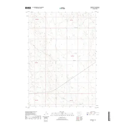
2017 Map of Fairpoint SE
USGS Topo · Published 2017About this map
Elm Cr and its tributary, E Elm Cr, carve a network of drainage patterns across this portion of Meade County, defining the landscape's character near Clough. This high-plains terrain is mapped through a grid of rural routes and sections, reflecting the enduring township and range system that organizes the Dakotas. Named local roads like Chalk Butte Rd, Laredo Pl, and Mandan Loop provide the primary access to these wide-open agricultural and ranching lands. The lack of dense settlement emphasizes the region's rural nature, where county thoroughfares such as Co Hwy Mc-23 and Co Hwy Mc-21 connect isolated homesteads and grazing tracts. Researchers can trace the subtle elevation changes and watercourse developments that have shaped the local land use and infrastructure.
Find a feature on this map
14 named features on this map. Tap any name to fly to it.
Don’t see what you’re looking for? This feature index may not catch every label — zoom into the map to look around manually.
Map Details
Editions of this 2017 Fairpoint SE Map
This is the sole edition of this map. No revisions or reprints were ever made.
Other maps of this area

1953 · Hereford
USGS Topo · 1:24,000

1953 · Hereford NE
USGS Topo · 1:24,000

1953 · Rapid City
USGS Topo · 1:250,000

1954 · Haydraw
USGS Topo · 1:24,000

1957 · Rapid City
USGS Topo · 1:250,000

1959 · Fairpoint
USGS Topo · 1:24,000

1959 · Fairpoint SW
USGS Topo · 1:24,000

1959 · Stoneville
USGS Topo · 1:24,000

1959 · Union Center
USGS Topo · 1:24,000

1959 · Fairpoint NW
USGS Topo · 1:24,000