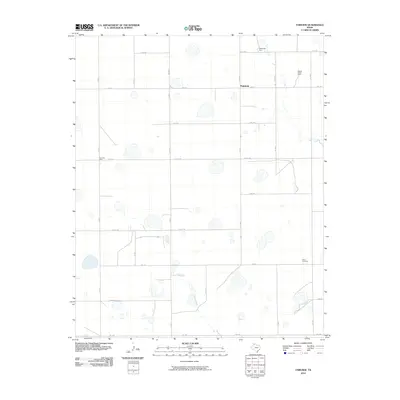
2010 Map of Fairview
USGS Topo · Published 2010About this map
Fairview anchors this high plains landscape in Armstrong County, where the agricultural grid is defined by a rhythmic sequence of farmsteads and farm-to-market roads. The topography is marked by numerous seasonal depressions and small water bodies that dot the terrain, reflecting the drainage patterns above the Salt Fork Red River. Long-established agricultural operations like Valleyview Farm, Willow Valley Farm, and Fourway Farm are connected by a rigid network of naming conventions, including Golf Rd, Hotel Rd, and India Rd. These phonetic and thematic road names, along with Kilo Rd and Lima Rd, suggest a modern systematic organization of the rural space. The southern portion of the area near Clear Vue Farm shows more varied terrain as the land begins to slope toward the river breaks, contrasting with the strictly partitioned fields found further north along FM 1151.
Find a feature on this map
23 named features on this map. Tap any name to fly to it.
Don’t see what you’re looking for? This feature index may not catch every label — zoom into the map to look around manually.
Map Details
Editions of this 2010 Fairview Map
This is the sole edition of this map. No revisions or reprints were ever made.
Other maps of this area

1954 · Amarillo
USGS Topo · 1:250,000

1954 · Plainview
USGS Topo · 1:250,000

1956 · Fortress Cliff
USGS Topo · 1:24,000

1956 · Washburn
USGS Topo · 1:24,000

1956 · Thomas Ranch
USGS Topo · 1:24,000

1956 · Pullman
USGS Topo · 1:24,000

1958 · Amarillo
USGS Topo · 1:250,000

1958 · Plainview
USGS Topo · 1:250,000

1960 · Fairview
USGS Topo · 1:24,000

1960 · Claude
USGS Topo · 1:62,500