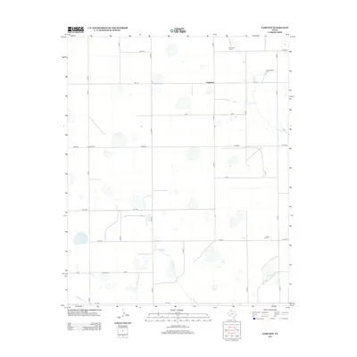
2012 Map of Fairview
USGS Topo · Published 2012About this map
Fairview and its surrounding agricultural landscape dominate this part of Armstrong County, organized by a rigid grid of rural roads and farmsteads. The terrain is marked by numerous playa lakes and the headwaters of Rush Cr, which provides the primary drainage for the area. This 2012 survey documents a late twentieth-century landscape of large-scale ranching and farming operations, evidenced by named properties such as Valleyview Farm, Willow Valley Farm, and Clear Vue Farm. The infrastructure is characterized by a series of state and county routes including FM-1151 and FM-1258, alongside uniquely named local roads like Golf, India, and Juliet Rd. These features illustrate the intersection of traditional High Plains land use with modern transportation networks.
Find a feature on this map
23 named features on this map. Tap any name to fly to it.
Don’t see what you’re looking for? This feature index may not catch every label — zoom into the map to look around manually.
Map Details
Editions of this 2012 Fairview Map
This is the sole edition of this map. No revisions or reprints were ever made.
Other maps of this area

1954 · Amarillo
USGS Topo · 1:250,000

1954 · Plainview
USGS Topo · 1:250,000

1956 · Fortress Cliff
USGS Topo · 1:24,000

1956 · Washburn
USGS Topo · 1:24,000

1956 · Thomas Ranch
USGS Topo · 1:24,000

1956 · Pullman
USGS Topo · 1:24,000

1958 · Amarillo
USGS Topo · 1:250,000

1958 · Plainview
USGS Topo · 1:250,000

1960 · Fairview
USGS Topo · 1:24,000

1960 · Claude
USGS Topo · 1:62,500