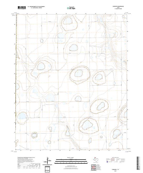
2022 Map of Fairview
USGS Topo · Published 2022About this map
Rush Creek meanders through this section of the Texas Panhandle, marking a distinct drainage pattern amidst the high plains. The landscape is defined by a rigid grid of rural roads and larger farm-to-market routes that facilitate movement across the Armstrong and Randall county line. This grid includes several alphabetically named corridors such as Golf Rd, Hotel Rd, India Rd, Juliet Rd, Kilo Rd, and Lima Rd, reflecting a systematic approach to land organization and navigation in this agricultural region. The network of smaller county roads like Co Rd 1 and Co Rd 2 connects these primary arteries, showing the distribution of land parcels and ranch access points as they existed in the early 21st century. The map illustrates how transportation infrastructure, including Fm 1151 and Fm 1258, has been adapted to the vast, open terrain typical of the Llano Estacado.
Find a feature on this map
20 named features on this map. Tap any name to fly to it.
Don’t see what you’re looking for? This feature index may not catch every label — zoom into the map to look around manually.
Map Details
Editions of this 2022 Fairview Map
This is the sole edition of this map. No revisions or reprints were ever made.
Other maps of this area

1954 · Amarillo
USGS Topo · 1:250,000

1954 · Plainview
USGS Topo · 1:250,000

1956 · Fortress Cliff
USGS Topo · 1:24,000

1956 · Washburn
USGS Topo · 1:24,000

1956 · Thomas Ranch
USGS Topo · 1:24,000

1956 · Pullman
USGS Topo · 1:24,000

1958 · Amarillo
USGS Topo · 1:250,000

1958 · Plainview
USGS Topo · 1:250,000

1960 · Fairview
USGS Topo · 1:24,000

1960 · Claude
USGS Topo · 1:62,500