2021 Map of Fairview
USGS Topo · Published 2021About this map
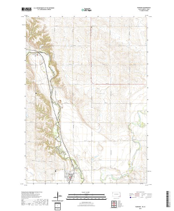
The Big Sioux River serves as the winding border between South Dakota and Iowa on this modern survey, defining the landscape where Fairview and Hudson are situated. The river's path is closely followed by the Jay Heath Canoe & Kayak Trl, highlighting the waterway's role in local recreation. To the east, the Rock River flows through the Iowa side of the quadrangle, eventually meeting the Big Sioux at the southern edge of the map. This area is a patchwork of rural township lines and agricultural roads, where the legacy of early settlement is preserved in sites like Fairview Cem, Eden Cem, and Sioux Cem. The map provides a contemporary record of these border communities and the natural drainage patterns of Puttee Cr as they integrate with the established grid of county highways and section lines.
Find a feature on this map
35 named features on this map. Tap any name to fly to it.
Don’t see what you’re looking for? This feature index may not catch every label — zoom into the map to look around manually.
Map Details
Editions of this 2021 Fairview Map
This is the sole edition of this map. No revisions or reprints were ever made.
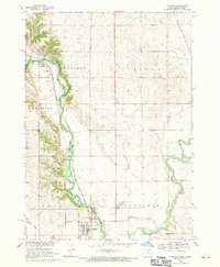
Historical Maps of Fairview Through Time
Featured Locations
- Eden Township, SD
- Fairview Township, SD
- Settlers Township, IA
- Fairview, Fairview Township
- Hudson, Eden Township