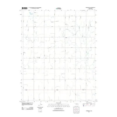
2012 Map of Fairview NE
USGS Topo · Published 2012About this map
Carwile anchors this rural landscape in Major County, illustrating the transition from agriculture to energy extraction in the early 21st century. The map reveals a strict section-line grid of local roads, such as e0390 RD and n2630 RD, which navigate around the natural drainage of Indian Cr and several unnamed water bodies. Family and community heritage is grounded in local burial sites, including Square Cedar Cem in the west and Forrest Cem along the southern border. Industrial development is marked by the Southeast Chaney Dell Oil Field, reflecting the region's continued reliance on oil and gas production amidst its traditional farmsteads. This survey captures the intersection of traditional land use and modern resource management in the Oklahoma plains.
Find a feature on this map
34 named features on this map. Tap any name to fly to it.
Don’t see what you’re looking for? This feature index may not catch every label — zoom into the map to look around manually.
Map Details
Editions of this 2012 Fairview NE Map
This is the sole edition of this map. No revisions or reprints were ever made.
Other maps of this area

1955 · Woodward
USGS Topo · 1:250,000

1956 · Ringwood
USGS Topo · 1:62,500

1958 · Woodward
USGS Topo · 1:250,000

1968 · Carmen
USGS Topo · 1:24,000

1969 · Goltry
USGS Topo · 1:24,000

1969 · Fairview NE
USGS Topo · 1:24,000

1969 · Helena
USGS Topo · 1:24,000

1969 · Fairview SE
USGS Topo · 1:24,000

1969 · Fairview
USGS Topo · 1:24,000

1969 · Cleo Springs
USGS Topo · 1:24,000