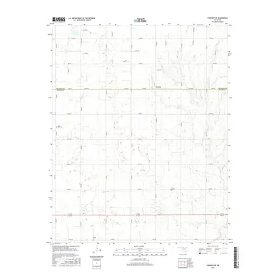
2016 Map of Fairview NE
USGS Topo · Published 2016About this map
Carwile sits at the intersection of the Alfalfa Co Major Co line in a landscape defined by a precise section-line road grid and the meandering path of Indian Cr. The rural character of this northern Oklahoma region is preserved through its historical burial grounds, including Square Cedar Cem, Free Home Cem, and Forrest Cem, which serve as vital markers for local genealogical research. The map illustrates a transition from the structured geometry of county roads like McWillie Rd and Co Line Rd to the natural drainage patterns that feed into the local creek systems. This document provides a record of land use and small-community connectivity in the plains, highlighting the isolation and deliberate placement of early settlement features against the vast agricultural backdrop.
Find a feature on this map
32 named features on this map. Tap any name to fly to it.
Don’t see what you’re looking for? This feature index may not catch every label — zoom into the map to look around manually.
Map Details
Editions of this 2016 Fairview NE Map
This is the sole edition of this map. No revisions or reprints were ever made.
Other maps of this area

1955 · Woodward
USGS Topo · 1:250,000

1956 · Ringwood
USGS Topo · 1:62,500

1958 · Woodward
USGS Topo · 1:250,000

1968 · Carmen
USGS Topo · 1:24,000

1969 · Goltry
USGS Topo · 1:24,000

1969 · Fairview NE
USGS Topo · 1:24,000

1969 · Helena
USGS Topo · 1:24,000

1969 · Fairview SE
USGS Topo · 1:24,000

1969 · Fairview
USGS Topo · 1:24,000

1969 · Cleo Springs
USGS Topo · 1:24,000