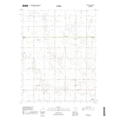
2018 Map of Fairview NE
USGS Topo · Published 2018About this map
Carwile and Ringwood anchor this landscape along the border of Alfalfa and Major counties, where the high plains transition into agricultural grid lines. This 2018 survey by the U.S. Geological Survey documents a region defined by its rural layout and systematic road network, such as Co Line Rd and N2600 Rd. The map is particularly valuable for genealogists and local historians, as it precisely locates small rural burial grounds including Square Cedar Cem, Free Home Cem, and Forrest Cem, which often represent the only remaining markers of early community centers. The drainage of Indian Cr provides the primary natural break in the otherwise structured township and range system, illustrating how water access influenced the original settlement patterns of T23N R11W and surrounding townships.
Find a feature on this map
37 named features on this map. Tap any name to fly to it.
Don’t see what you’re looking for? This feature index may not catch every label — zoom into the map to look around manually.
Map Details
Editions of this 2018 Fairview NE Map
This is the sole edition of this map. No revisions or reprints were ever made.
Other maps of this area

1955 · Woodward
USGS Topo · 1:250,000

1956 · Ringwood
USGS Topo · 1:62,500

1958 · Woodward
USGS Topo · 1:250,000

1968 · Carmen
USGS Topo · 1:24,000

1969 · Goltry
USGS Topo · 1:24,000

1969 · Fairview NE
USGS Topo · 1:24,000

1969 · Helena
USGS Topo · 1:24,000

1969 · Fairview SE
USGS Topo · 1:24,000

1969 · Fairview
USGS Topo · 1:24,000

1969 · Cleo Springs
USGS Topo · 1:24,000