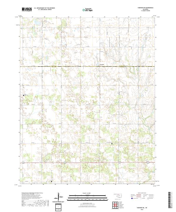
2022 Map of Fairview NE
USGS Topo · Published 2022About this map
The boundary between Alfalfa County and Major County bisects this rural landscape, defined by a rigid section-line grid of roads like E0380 Rd and N2630 Rd. At the center of this agricultural district is Carwile, a small settlement situated near several rural burial sites that offer significant genealogical value. These include Square Cedar Cem to the west and Free Home Cem further south. The terrain is marked by the meandering path of Indian Cr in the east, which cuts across the established road network. This survey preserves the exact placement of family-named sites like Forrest Cem and the complex system of local routes such as McWillie Rd, reflecting the persistent land-use patterns of Oklahoma's northwestern plains.
Find a feature on this map
36 named features on this map. Tap any name to fly to it.
Don’t see what you’re looking for? This feature index may not catch every label — zoom into the map to look around manually.
Map Details
Editions of this 2022 Fairview NE Map
This is the sole edition of this map. No revisions or reprints were ever made.
Other maps of this area

1955 · Woodward
USGS Topo · 1:250,000

1956 · Ringwood
USGS Topo · 1:62,500

1958 · Woodward
USGS Topo · 1:250,000

1968 · Carmen
USGS Topo · 1:24,000

1969 · Goltry
USGS Topo · 1:24,000

1969 · Fairview NE
USGS Topo · 1:24,000

1969 · Helena
USGS Topo · 1:24,000

1969 · Fairview SE
USGS Topo · 1:24,000

1969 · Fairview
USGS Topo · 1:24,000

1969 · Cleo Springs
USGS Topo · 1:24,000