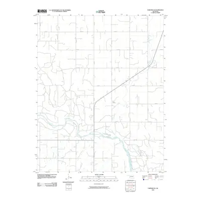
2009 Map of Fairview SE
USGS Topo · Published 2009About this map
The Cimarron River winds across this section of Major County, carving a wide path through the Oklahoma landscape. The area is defined by its rural grid of section line roads, including n2600 RD and e0450 RD, which reveal the enduring structure of the region's agricultural land divisions. In the eastern portion of the quadrangle, Indian Creek flows southward toward its confluence with the larger river, creating a distinct drainage pattern amidst the surrounding plains. A notable landmark for local historians and genealogists is the Sorge Cemetery, situated north of the river near the intersection of the county road network. The map illustrates a territory largely dedicated to farming and open space, with few concentrated settlements, reflecting the quiet, rural character of this part of Oklahoma in the early twenty-first century.
Find a feature on this map
18 named features on this map. Tap any name to fly to it.
Don’t see what you’re looking for? This feature index may not catch every label — zoom into the map to look around manually.
Map Details
Editions of this 2009 Fairview SE Map
This is the sole edition of this map. No revisions or reprints were ever made.
Other maps of this area

1893 · Ames
USGS Topo · 1:62,500

1955 · Woodward
USGS Topo · 1:250,000

1956 · Ames
USGS Topo · 1:62,500

1956 · Ringwood
USGS Topo · 1:62,500

1958 · Woodward
USGS Topo · 1:250,000

1969 · Fairview NE
USGS Topo · 1:24,000

1969 · Fairview SE
USGS Topo · 1:24,000

1969 · Fairview
USGS Topo · 1:24,000

1969 · Cleo Springs
USGS Topo · 1:24,000

1972 · Homestead
USGS Topo · 1:24,000