2012 Map of Fairview SE
USGS Topo · Published 2012About this map
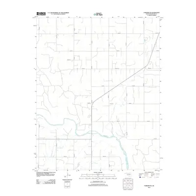
The Cimarron River winds through the southern portion of this Major County landscape, creating a braided channel pattern that dominates the local topography. This 2012 survey by the U.S. Geological Survey reveals a strictly organized section-line road grid, including N2600 Rd and E0450 Rd, which defines the agricultural character of the region. A notable point of interest for local historians is the Sorge Cem, located east of the intermittent Indian Cr. The map illustrates the sparse, rural settlement pattern common to this part of Oklahoma, where residential structures are scattered primarily along the primary north-south and east-west access roads, reflecting the enduring legacy of the original land survey system.
Find a feature on this map
19 named features on this map. Tap any name to fly to it.
Don’t see what you’re looking for? This feature index may not catch every label — zoom into the map to look around manually.
Map Details
Editions of this 2012 Fairview SE Map
This is the sole edition of this map. No revisions or reprints were ever made.
Other maps of this area

1893 · Ames
USGS Topo · 1:62,500

1955 · Woodward
USGS Topo · 1:250,000

1956 · Ames
USGS Topo · 1:62,500

1956 · Ringwood
USGS Topo · 1:62,500

1958 · Woodward
USGS Topo · 1:250,000

1969 · Fairview NE
USGS Topo · 1:24,000

1969 · Fairview SE
USGS Topo · 1:24,000

1969 · Fairview
USGS Topo · 1:24,000

1969 · Cleo Springs
USGS Topo · 1:24,000

1972 · Homestead
USGS Topo · 1:24,000