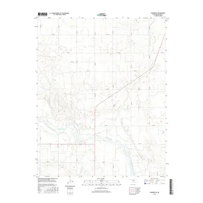
2016 Map of Fairview SE
USGS Topo · Published 2016About this map
The Cimarron River winds through the southern portion of this Major County landscape, creating a distinct riparian corridor of wetlands and braided channels. This 2016 survey illustrates the organized section-line road grid characteristic of the Oklahoma plains, including N2630 Rd and E0450 Rd. A significant local landmark for genealogists is the Sorge Cem, located near the center of the sheet just east of Indian Cr. The map details the transition from the river bottomlands to the upland prairie, where the terrain is marked by numerous small depressions and drainage patterns. This modern topographic record captures the enduring agricultural layout of the region, punctuated only by a few isolated rural structures and the diagonal path of a state highway crossing through the northern sections.
Find a feature on this map
18 named features on this map. Tap any name to fly to it.
Don’t see what you’re looking for? This feature index may not catch every label — zoom into the map to look around manually.
Map Details
Editions of this 2016 Fairview SE Map
This is the sole edition of this map. No revisions or reprints were ever made.
Other maps of this area

1893 · Ames
USGS Topo · 1:62,500

1955 · Woodward
USGS Topo · 1:250,000

1956 · Ames
USGS Topo · 1:62,500

1956 · Ringwood
USGS Topo · 1:62,500

1958 · Woodward
USGS Topo · 1:250,000

1969 · Fairview NE
USGS Topo · 1:24,000

1969 · Fairview SE
USGS Topo · 1:24,000

1969 · Fairview
USGS Topo · 1:24,000

1969 · Cleo Springs
USGS Topo · 1:24,000

1972 · Homestead
USGS Topo · 1:24,000