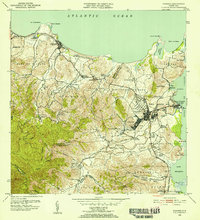
1952 Map of Fajardo
USGS Topo · Published 1953About this map
Sugar production and coastal commerce define this mid-century survey of northeastern Puerto Rico. Numerous agricultural estates, or colonias, such as Colonia Monserrate, Colonia Margarita, and Colonia Santa Maria, are distributed across the landscape, connected by the tracks of the Fajardo Development railroad. This industrial rail network facilitates the movement of crops from the interior valleys toward the primary settlement at Fajardo and its maritime outlet at Puerto Real.
Find a feature on this map
90 named features on this map. Tap any name to fly to it.
Don’t see what you’re looking for? This feature index may not catch every label — zoom into the map to look around manually.
Map Details
Editions of this 1952 Fajardo Map
2 editions found
Other maps of this area

1941 · Rio Grande
USGS Topo · 1:30,000

1945 · Cayo Icacos
USGS Topo · 1:30,000

1945 · El Yunque
USGS Topo · 1:30,000

1946 · El Yunque
USGS Topo · 1:30,000

1946 · Punta Puerca
USGS Topo · 1:30,000

1946 · Naguabo
USGS Topo · 1:30,000

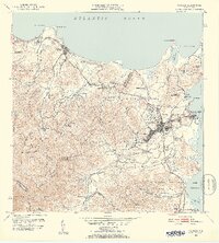
1946 · Fajardo
USGS Topo · 1:30,000

1947 · El Yunque NE
USGS Topo · 1:10,000

1947 · Rio Grande
USGS Topo · 1:30,000

1947 · El Yunque SE
USGS Topo · 1:10,000