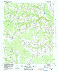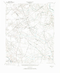
1904 Map of Falkland
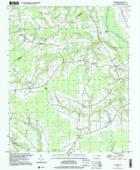
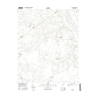
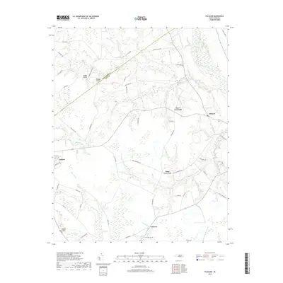
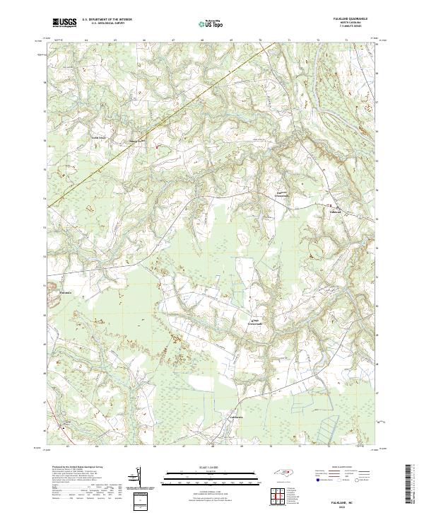
USGS Topo · Published 1973About this map
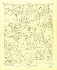
Farmville stands as a primary hub within this eastern North Carolina coastal plain landscape, which was surveyed at the start of the 20th century. The territory is defined by the winding course of Contentnea Creek and the Tar River, where low-lying drainage basins like Black Swamp and Beaver Dam Swamp dictate the placement of early settlements and road networks. The agrarian economy of the era is evident in the scattered millponds, including Edson Millpond and Harris Millpond, which harnessed the slow-moving waters of local runs and creeks.
Find a feature on this map
52 named features on this map. Tap any name to fly to it.
Don’t see what you’re looking for? This feature index may not catch every label — zoom into the map to look around manually.
Map Details
Editions of this 1904 Falkland Map
3 editions found

Historical Maps of Farmville Through Time
8 maps found