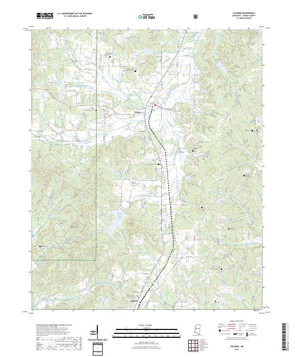
2024 Map of Falkner
USGS Topo · Published 2024About this map
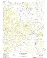
Falkner and the northern edge of Ripley anchor this modern topographical study of Tippah County, revealing a landscape defined by traditional southern cemeteries and the conservation boundaries of the Holly Springs National Forest. The terrain is shaped by the headwaters of numerous creeks, including the North Prong Muddy Creek and Fourmile Branch, which feeds into the Tippah County Lake. Local history is preserved through a dense network of burial grounds, from family plots like the Johnson Family Cem and the Nance Graveyard to larger congregational sites such as Mount Moriah Baptist Church Cem.
Find a feature on this map
114 named features on this map. Tap any name to fly to it.
Don’t see what you’re looking for? This feature index may not catch every label — zoom into the map to look around manually.
Map Details
Editions of this 2024 Falkner Map
This is the sole edition of this map. No revisions or reprints were ever made.
Other maps of this area

1950 · Ashland
USGS Topo · 1:62,500

1951 · Walnut
USGS Topo · 1:62,500

1955 · Ripley
USGS Topo · 1:62,500

1955 · Blue Mountain
USGS Topo · 1:62,500

1956 · Tupelo
USGS Topo · 1:250,000

1958 · Tupelo
USGS Topo · 1:250,000
1982 · Dumas
USGS Topo · 1:24,000
1982 · Chalybeate
USGS Topo · 1:24,000
1982 · Ripley
USGS Topo · 1:24,000
1982 · Blue Mountain
USGS Topo · 1:24,000