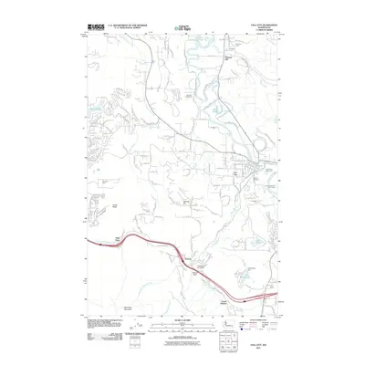
2011 Map of Fall City
USGS Topo · Published 2011About this map
The Snoqualmie River and its complex of waterways, including Patterson Creek, Raging River, and Janicke Slough, define the hydraulic landscape of this region east of Seattle. This survey documents the area's mixed development, from the residential clusters at Fall City and Beaver Lakes to the industrial legacy marked by the Reynolds Mine. Historical industry is further evidenced by the Preston Mill Pond Dam near the community of Preston.
Find a feature on this map
35 named features on this map. Tap any name to fly to it.
Don’t see what you’re looking for? This feature index may not catch every label — zoom into the map to look around manually.
Map Details
Editions of this 2011 Fall City Map
This is the sole edition of this map. No revisions or reprints were ever made.
Other maps of this area

1895 · Snohomish
USGS Topo · 1:125,000

1897 · Tacoma
USGS Topo · 1:125,000

1897 · Seattle
USGS Topo · 1:125,000

1900 · Tacoma
USGS Topo · 1:125,000

1913 · Cedar Lake
USGS Topo · 1:125,000

1921 · Sultan
USGS Topo · 1:125,000

1923 · Sultan
USGS Topo · 1:125,000

1949 · Maple Valley
USGS Topo · 1:24,000

1950 · Redmond
USGS Topo · 1:24,000

1950 · Issaquah
USGS Topo · 1:24,000