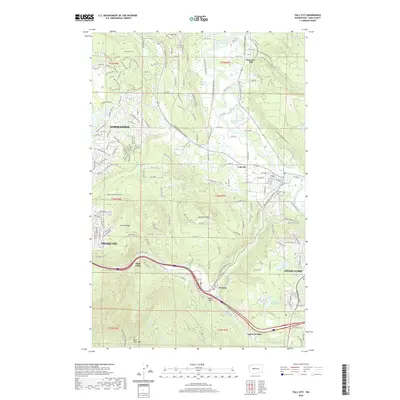
2020 Map of Fall City
USGS Topo · Published 2020About this map
Snoqualmie River meanders through the heart of the Snoqualmie Valley, creating a complex network of oxbows and backwaters including Green Slough, Horseshoe Slough, and Rutherford Slough. The settlement of Fall City serves as a central hub where the Raging River joins the main stem, while the historic timber-industry influence is evidenced further south by the Preston Mill Pond near the community of Preston. The terrain transitions from the low-lying valley floor to the prominent heights of West Tiger Mtn and Grand Ridge, showcasing the physical geography that shaped the early logging and farming communities of King County. Genealogists and local historians can locate established landmarks such as the Fall City Cem and the residential growth around Sammamish and Issaquah. Smaller locales like High Point and Pleasant Hill illustrate the scattered nature of early development along these tributary corridors and ridges.
Find a feature on this map
167 named features on this map. Tap any name to fly to it.
Don’t see what you’re looking for? This feature index may not catch every label — zoom into the map to look around manually.
Map Details
Editions of this 2020 Fall City Map
This is the sole edition of this map. No revisions or reprints were ever made.
Other maps of this area

1895 · Snohomish
USGS Topo · 1:125,000

1897 · Tacoma
USGS Topo · 1:125,000

1897 · Seattle
USGS Topo · 1:125,000

1900 · Tacoma
USGS Topo · 1:125,000

1913 · Cedar Lake
USGS Topo · 1:125,000

1921 · Sultan
USGS Topo · 1:125,000

1923 · Sultan
USGS Topo · 1:125,000

1949 · Maple Valley
USGS Topo · 1:24,000

1950 · Redmond
USGS Topo · 1:24,000

1950 · Issaquah
USGS Topo · 1:24,000