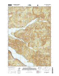
2014 Map of Fall Creek Lake
USGS Topo · Published 2014About this map
Winberry sits as a primary point of reference in this landscape defined by high ridges and major water impoundments in Lane County. The topography is dominated by the Fall Creek Lake reservoir and the northern reaches of Lookout Point Lake, which are surrounded by numerous named peaks including Deer Mtn, Green Mtn, and Fairview Mtn. This area within the Willamette National Forest shows a complex network of forest access routes like Weyerhauser Rd and Peninsula Rd, reflecting the region's managed timber heritage. The map records several notable drainage systems that feed the lakes, such as Little Fall Cr and Winberry Cr, alongside high-elevation landmarks like Wimble Pass and Horn Butte. This 2014 survey documents the modern layout of recreation and forestry infrastructure before shifting environmental or management policies might alter the visible landscape.
Find a feature on this map
40 named features on this map. Tap any name to fly to it.
Don’t see what you’re looking for? This feature index may not catch every label — zoom into the map to look around manually.
Map Details
Editions of this 2014 Fall Creek Lake Map
This is the sole edition of this map. No revisions or reprints were ever made.
Other maps of this area

1935 · Lowell
USGS Topo · 1:96,000

1942 · Lowell
USGS Topo · 1:125,000

1950 · Marcola
USGS Topo · 1:62,500

1951 · Leaburg
USGS Topo · 1:62,500

1952 · Marcola
USGS Topo · 1:62,500

1953 · Salem
USGS Topo · 1:250,000

1954 · Salem
USGS Topo · 1:250,000

1955 · Hardesty Mtn
USGS Topo · 1:62,500

1955 · Lowell
USGS Topo · 1:62,500

1958 · Roseburg
USGS Topo · 1:250,000