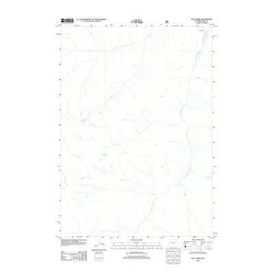
2012 Map of Fall Creek
USGS Topo · Published 2012About this map
The S Fork Shoshone River carves a deep valley through this corner of the Absaroka Range, creating a primary drainage system for the surrounding high country. In the northern reaches of the river canyon, Majo Ranch stands as a notable landmark of human settlement in an otherwise high-elevation wilderness dominated by watercourses. Numerous tributaries, including Fall Cr, Silver Cr, and Bruin Cr, feed into the river from the west, while Needle Cr and Saddle Cr descend from the eastern slopes. The network of naming, from Aspen Cr to Valley Fork, suggests a landscape defined by its riparian corridors and the seasonal movement of water and wildlife through the montane environment.
Find a feature on this map
10 named features on this map. Tap any name to fly to it.
Don’t see what you’re looking for? This feature index may not catch every label — zoom into the map to look around manually.
Map Details
Editions of this 2012 Fall Creek Map
This is the sole edition of this map. No revisions or reprints were ever made.
Other maps of this area

1893 · Ishawooa
USGS Topo · 1:125,000

1895 · Ishawooa
USGS Topo · 1:125,000

1899 · Ishawooa
USGS Topo · 1:125,000

1905 · Younts Peak
USGS Topo · 1:125,000

1907 · Younts Peak
USGS Topo · 1:125,000

1955 · Cody
USGS Topo · 1:250,000

1955 · Thermopolis
USGS Topo · 1:250,000

1956 · Emerald Lake
USGS Topo · 1:24,000

1958 · Cody
USGS Topo · 1:250,000

1958 · Thermopolis
USGS Topo · 1:250,000