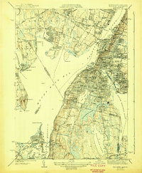
1944 Map of Fall River
USGS Topo · Published 1944About this map
Mount Hope Bay and the Taunton River dominate this wartime-era survey, illustrating the dense industrial and maritime character of the borderlands between Massachusetts and Rhode Island. The textile economy is etched into the landscape via water bodies like Cook Pond and South Watuppa Pond, which historically powered the local mills. The urban core of Fall River is a concentrated grid of parochial schools, churches, and civic institutions such as City Hall and Oak Grove Cemetery.
Find a feature on this map
99 named features on this map. Tap any name to fly to it.
Don’t see what you’re looking for? This feature index may not catch every label — zoom into the map to look around manually.
Map Details
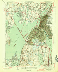
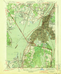
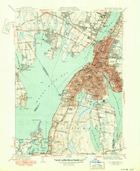
Editions of this 1944 Fall River Map
4 editions found
Other maps of this area

1885 · Taunton
USGS Topo · 1:62,500

1887 · Providence
USGS Topo · 1:62,500

1888 · Fall River
USGS Topo · 1:62,500

1888 · Taunton
USGS Topo · 1:62,500

1889 · Providence
USGS Topo · 1:62,500

1890 · Narragansett Bay
USGS Topo · 1:62,500

1892 · Narragansett Bay
USGS Topo · 1:62,500

1893 · Taunton
USGS Topo · 1:62,500

1893 · Fall River
USGS Topo · 1:62,500

1894 · Providence
USGS Topo · 1:62,500