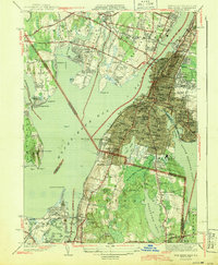
1944 Map of Fall River
USGS Topo · Published 1944About this map
The dense urban core of Fall River and the industrial shoreline of Mount Hope Bay define this 1944 survey, conducted just before the close of the war. The map reveals an intensive concentration of civic and religious infrastructure, particularly the numerous parochial schools such as St Anne Sch and St Stanislaus Sch serving the local neighborhoods. The landscape is bifurcated by the massive South Watuppa Pond and the Taunton River, with the New York New Haven and Hartford railroad weaving through the waterfront. Notable landmarks like the EL Power Plant and City Hospital anchor the city, while the southern reaches into Tiverton and Island Park show the transition to more open terrain, including the Pocasset Cedar Swamp and the family-named high point at Cook Hill. Large burial grounds, including the Oak Grove Cemetery and North Burial Ground, occupy significant footprints within the city limits.
Find a feature on this map
102 named features on this map. Tap any name to fly to it.
Don’t see what you’re looking for? This feature index may not catch every label — zoom into the map to look around manually.
Map Details
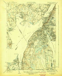
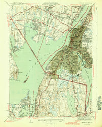
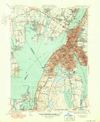
Editions of this 1944 Fall River Map
4 editions found
Other maps of this area

1885 · Taunton
USGS Topo · 1:62,500

1887 · Providence
USGS Topo · 1:62,500

1888 · Fall River
USGS Topo · 1:62,500

1888 · Taunton
USGS Topo · 1:62,500

1889 · Providence
USGS Topo · 1:62,500

1890 · Narragansett Bay
USGS Topo · 1:62,500

1892 · Narragansett Bay
USGS Topo · 1:62,500

1893 · Taunton
USGS Topo · 1:62,500

1893 · Fall River
USGS Topo · 1:62,500

1894 · Providence
USGS Topo · 1:62,500