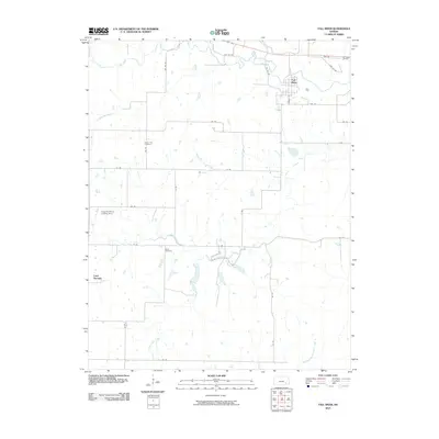
2010 Map of Fall River
USGS Topo · Published 2010About this map
Fall River sits at the northeastern corner of this landscape, where the township road network meets the meandering course of Salt Creek. The terrain is defined by a dense system of seasonal and perennial waterways, including Indian Creek and Mid Painterhood Creek, which carve through the Kansas prairie. Agricultural life is evidenced by the numerous section-line roads and the localized aviation infrastructure at the Clogston Ranch Landing Strip. For those tracing local history and family lineages, the map preserves the locations of rural landmarks like Mount Zion Cemetery and Wade Cemetery, as well as the small settlement of Cave Springs in the west. This survey illustrates the persistent rural character of Greenwood County, where small-scale drainage basins like Little Indian Creek dictate the placement of local routes and homesteads.
Find a feature on this map
33 named features on this map. Tap any name to fly to it.
Don’t see what you’re looking for? This feature index may not catch every label — zoom into the map to look around manually.
Map Details
Editions of this 2010 Fall River Map
This is the sole edition of this map. No revisions or reprints were ever made.
Other maps of this area

1885 · Eureka
USGS Topo · 1:125,000

1885 · Sedan
USGS Topo · 1:125,000

1886 · Fredonia
USGS Topo · 1:125,000

1886 · Independence
USGS Topo · 1:125,000

1888 · Eureka
USGS Topo · 1:125,000

1889 · Sedan
USGS Topo · 1:125,000

1894 · Fredonia
USGS Topo · 1:125,000

1894 · Independence
USGS Topo · 1:125,000

1894 · Eureka
USGS Topo · 1:125,000

1905 · Independence
USGS Topo · 1:125,000