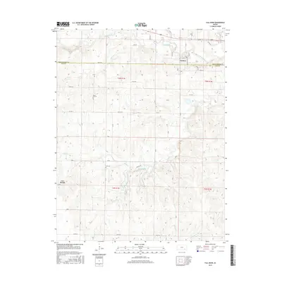
2015 Map of Fall River
USGS Topo · Published 2015About this map
Fall River serves as the focal point of this rural Kansas landscape, where the town grid is defined by streets like Oak St and Merchants Ave just south of the winding Salt Creek. The terrain is deeply etched by a complex drainage system including Indian Creek, Coon Cr, and Mid Painterhood Cr, illustrating the rugged topography of the Greenwood and Elk County border. Genealogists can identify key burial sites such as Mount Zion Cem and Wade Cem, which are situated among the section lines and rural tracks like Settler Rd and Turkey Rd. The settlement of Cave Springs appears on the western edge of the sheet, connected by Pioneer road, reflecting the persistence of small communities and family-named landmarks in this prairie region.
Find a feature on this map
39 named features on this map. Tap any name to fly to it.
Don’t see what you’re looking for? This feature index may not catch every label — zoom into the map to look around manually.
Map Details
Editions of this 2015 Fall River Map
This is the sole edition of this map. No revisions or reprints were ever made.
Other maps of this area

1885 · Eureka
USGS Topo · 1:125,000

1885 · Sedan
USGS Topo · 1:125,000

1886 · Fredonia
USGS Topo · 1:125,000

1886 · Independence
USGS Topo · 1:125,000

1888 · Eureka
USGS Topo · 1:125,000

1889 · Sedan
USGS Topo · 1:125,000

1894 · Fredonia
USGS Topo · 1:125,000

1894 · Independence
USGS Topo · 1:125,000

1894 · Eureka
USGS Topo · 1:125,000

1905 · Independence
USGS Topo · 1:125,000