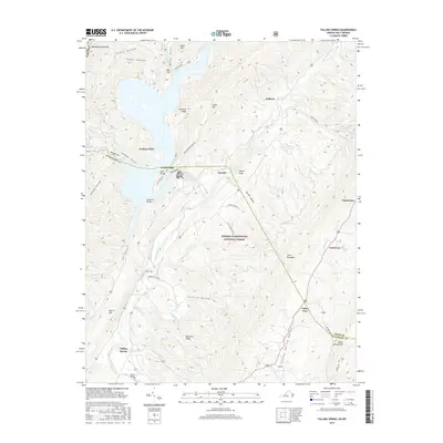
2016 Map of Falling Spring
USGS Topo · Published 2016About this map
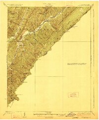
Falling Spring Valley dominates this landscape, where the Jackson River carves its way through the mountainous borderlands of Bath and Alleghany counties. The river is constrained by prominent ridges such as Bolar Mtn and Warm Springs Mtn, eventually widening into the significant northern reaches of Lake Moomaw. This reservoir is a central geographic feature, bordered by landforms like Perkins Point and Greavers Ridge.
Find a feature on this map
55 named features on this map. Tap any name to fly to it.
Don’t see what you’re looking for? This feature index may not catch every label — zoom into the map to look around manually.
Map Details
Editions of this 2016 Falling Spring Map
This is the sole edition of this map. No revisions or reprints were ever made.
Other maps of this area

1887 · Lewisburg
USGS Topo · 1:125,000

1891 · Lewisburg
USGS Topo · 1:125,000

1891 · Huntersville
USGS Topo · 1:125,000

1894 · Huntersville
USGS Topo · 1:125,000

1894 · Natural Bridge
USGS Topo · 1:125,000

1901 · Monterey
USGS Topo · 1:125,000
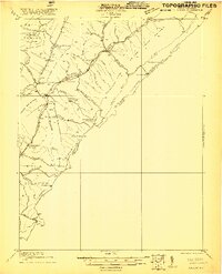
1921 · Callaghan
USGS Topo · 1:48,000
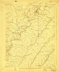
1923 · Marlinton
USGS Topo · 1:48,000
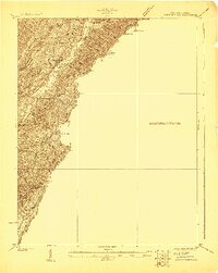
1923 · Warm Springs
USGS Topo · 1:48,000
1923 · Callaghan
USGS Topo · 1:62,500