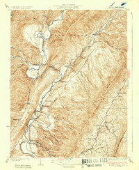
1932 Map of Falling Spring
USGS Topo · Published 1932About this map
Jackson River carves a path between the steep ridges of Allegheny Mtn and Coles Mountain, defining the early 20th-century landscape of this Virginia-West Virginia borderland. The river corridor is the primary artery for travel and industry, hosting the Chesapeake and Ohio railroad and several small settlements. Local history is anchored at sites like Greavers Mill and the river crossing at Jenkins Ford.
Find a feature on this map
59 named features on this map. Tap any name to fly to it.
Don’t see what you’re looking for? This feature index may not catch every label — zoom into the map to look around manually.
Map Details
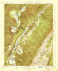
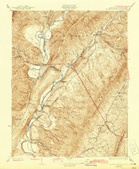
Editions of this 1932 Falling Spring Map
3 editions found
Other maps of this area

1887 · Lewisburg
USGS Topo · 1:125,000

1891 · Lewisburg
USGS Topo · 1:125,000

1891 · Huntersville
USGS Topo · 1:125,000

1894 · Huntersville
USGS Topo · 1:125,000

1894 · Natural Bridge
USGS Topo · 1:125,000

1901 · Monterey
USGS Topo · 1:125,000
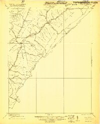
1921 · Callaghan
USGS Topo · 1:48,000
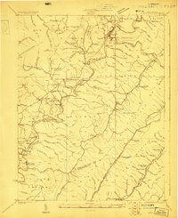
1923 · Marlinton
USGS Topo · 1:48,000
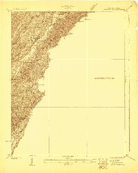
1923 · Warm Springs
USGS Topo · 1:48,000
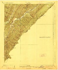
1923 · Callaghan
USGS Topo · 1:62,500