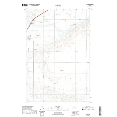
2020 Map of Fallon
USGS Topo · Published 2020About this map
The Yellowstone River cuts through the northern portion of this landscape, its path defined by natural obstacles like Russys Rapids and the rising elevations of Barrs Bluffs. The Yellowstone River Bridge serves as a critical transit point where C B Rte crosses the water, linking the river valley to the broad agricultural plateaus to the south.
Find a feature on this map
33 named features on this map. Tap any name to fly to it.
Don’t see what you’re looking for? This feature index may not catch every label — zoom into the map to look around manually.
Map Details
Editions of this 2020 Fallon Map
This is the sole edition of this map. No revisions or reprints were ever made.
Other maps of this area

1953 · Miles City
USGS Topo · 1:250,000

1957 · Miles City
USGS Topo · 1:250,000

1958 · Miles City
USGS Topo · 1:250,000

1966 · Fallon
USGS Topo · 1:24,000

1966 · Marsh SW
USGS Topo · 1:24,000

1967 · Marsh
USGS Topo · 1:24,000
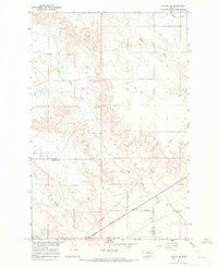
1967 · Fallon NE
USGS Topo · 1:24,000

1969 · Flat Top Butte
USGS Topo · 1:24,000

1969 · Flat Top Butte NE
USGS Topo · 1:24,000

1972 · Hendrickson Coulee
USGS Topo · 1:24,000