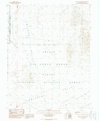
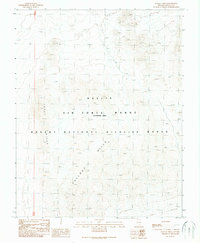
1989 Map of Fallout Hills NW
USGS Topo · Published 1989About this map
Emigrant Valley dominates this 1989 provisional survey, illustrating a landscape defined by expansive desert basins and restricted federal territory. The map documents a significant intersection of military and environmental management within Lincoln County, where the Nellis Air Force Range overlaps with the Desert National Wildlife Range. To the northeast, the jagged topography of the Jumbled Hills rises sharply from the valley floor, providing a stark contrast to the surrounding alluvial flats. This edition was compiled from 1968 aerial photography and edited in 1989, capturing the area during a period of heavy administrative use. A critical boundary for the Nevada Test Site Area Access Restricted is clearly marked along the western edge, signifying the high-security nature of this remote Great Basin terrain during the late twentieth century.
Find a feature on this map
7 named features on this map. Tap any name to fly to it.
Don’t see what you’re looking for? This feature index may not catch every label — zoom into the map to look around manually.
Map Details
Editions of this 1989 Fallout Hills NW Map
This is the sole edition of this map. No revisions or reprints were ever made.
Other maps of this area

1942 · Emigrant Valley
USGS Topo · 1:125,000

1952 · Papoose Lake
USGS Topo · 1:62,500

1952 · Groom Mine
USGS Topo · 1:62,500

1954 · Caliente
USGS Topo · 1:250,000

1959 · Caliente
USGS Topo · 1:250,000
1983 · Groom Range SE
USGS Topo · 1:24,000
1983 · Southeastern Mine
USGS Topo · 1:24,000
1983 · Fallout Hills NE
USGS Topo · 1:24,000

1985 · Pahranagat Range
USGS Topo · 1:100,000
1989 · Fallout Hills
USGS Topo · 1:24,000