Loading...
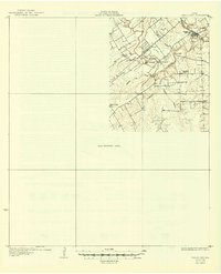
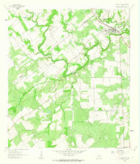
Loading map...1931 Map of Falls City
USGS Topo · Published 1949About this map
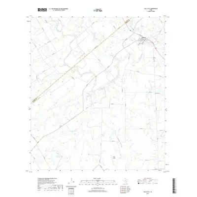
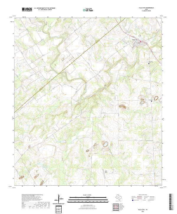
Falls City and the San Antonio River dominate this 1931 edition, which reveals the rural landscape of the Wilson and Karnes county line before mid-century development. The Southern Pacific railroad parallels the river through the town of Falls City, where local industry and community life centered on features like Froshinn Hall. Outside the primary settlement, the map traces a network of country schools, including Mays Crossing Sch, Laake Sch, and Arnold Sch, serving a dispersed farming population.
Find a feature on this map
18 named features on this map. Tap any name to fly to it.
Don’t see what you’re looking for? This feature index may not catch every label — zoom into the map to look around manually.
Map Details
Date Portrayed1931
Date Published1949
PublisherU.S. Geological Survey
Map TypeTopographic
Scale1:62,500
Physical Dimensions17 x 20.9 inches
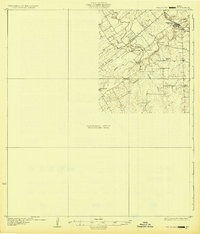
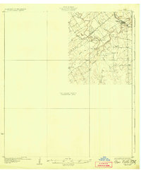
Editions of this 1931 Falls City Map
4 editions found
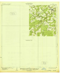
Historical Maps of Falls City Through Time
7 maps found
Featured Locations
Source Details
SourceU.S. Geological Survey
CopyrightPublic Domain