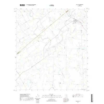
2019 Map of Falls City
USGS Topo · Published 2019About this map
Falls City sits at the northern edge of this Karnes County landscape, where the San Antonio River carves a winding path through the South Texas brush country. The town's grid is clearly defined by local streets such as N Irvin St and S Front St, with the Falls City Cem located just to the east. The river's influence is evident in the presence of Skiles Falls and various tributaries like Marcelinas Cr and Las Moras Cr that drain the surrounding ranchland.
Find a feature on this map
53 named features on this map. Tap any name to fly to it.
Don’t see what you’re looking for? This feature index may not catch every label — zoom into the map to look around manually.
Map Details
Editions of this 2019 Falls City Map
This is the sole edition of this map. No revisions or reprints were ever made.
Other maps of this area

1920 · Smiley
USGS Topo · 1:125,000

1925 · Tordia No. 1
USGS Topo · 1:48,000

1931 · Falls City
USGS Topo · 1:62,500

1936 · Floresville
USGS Topo · 1:62,500

1953 · Crystal City
USGS Topo · 1:250,000

1953 · Beeville
USGS Topo · 1:250,000

1953 · Seguin
USGS Topo · 1:250,000

1954 · San Antonio
USGS Topo · 1:250,000

1955 · Crystal City
USGS Topo · 1:250,000

1956 · Beeville
USGS Topo · 1:250,000