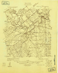
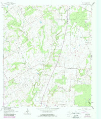
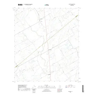
1931 Map of Tordia
USGS Topo · Published 1931About this map
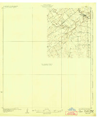
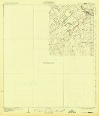
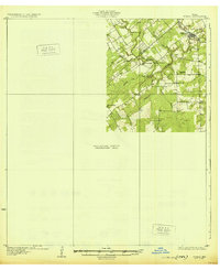
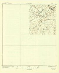
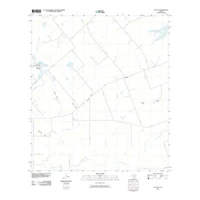
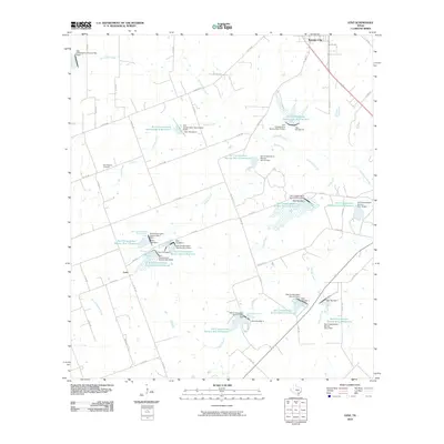
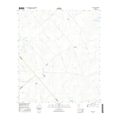
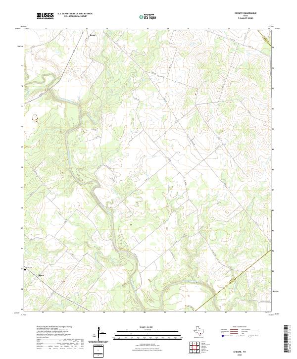
The San Antonio River carves a winding path through the Karnes and Wilson County border in this 1925 survey, showing the landscape as it functioned during the transition to more modern infrastructure. In the northeast corner, Falls City serves as a primary hub along the Southern Pacific railroad line, while rural gathering points like Froshinn Hall and the remote settlement of Deweesville anchor the surrounding ranching and farming community. The map illustrates a network of early country education, including Laake Sch, Arnold Sch, and the Mays Crossing Sch situated near the river's edge. This sheet is notable for its partial completion, featuring a large Preliminary Edition Unsurveyed Area that highlights the ongoing work of the U.S. Geological Survey and the Board of Water Engineers to map the more complex drainage of tributaries like Scared Dog Creek and Conquista Creek.
Find a feature on this map
17 named features on this map. Tap any name to fly to it.
Don’t see what you’re looking for? This feature index may not catch every label — zoom into the map to look around manually.
Map Details
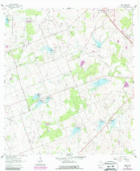
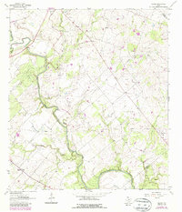
Editions of this 1931 Tordia Map
4 editions found
Historical Maps of Falls City Through Time
37 maps found
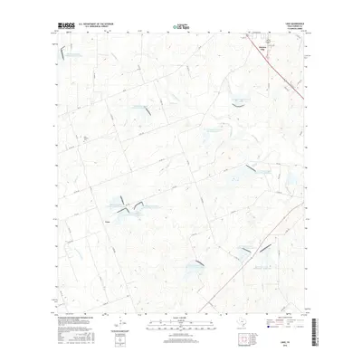
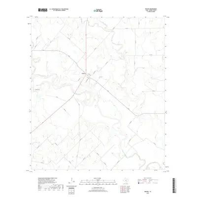
1925 Tordia No. 1
Karnes County, TX
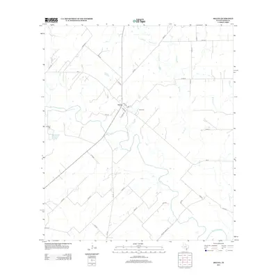
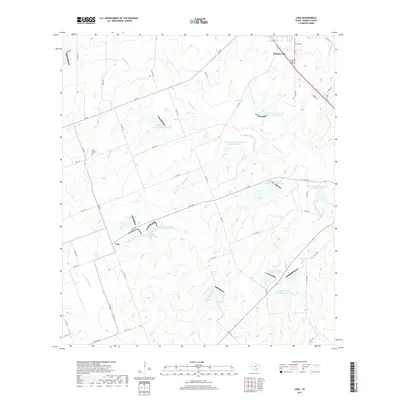
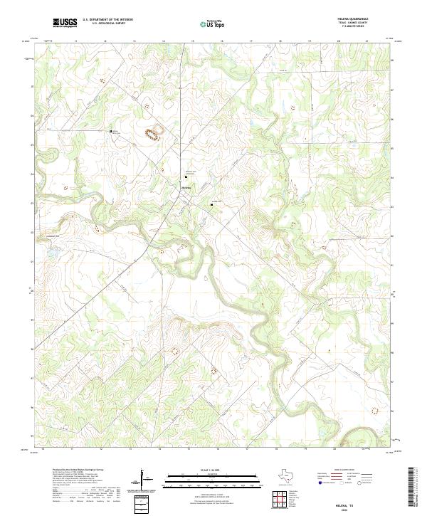
1960 Helena
Karnes County, TX
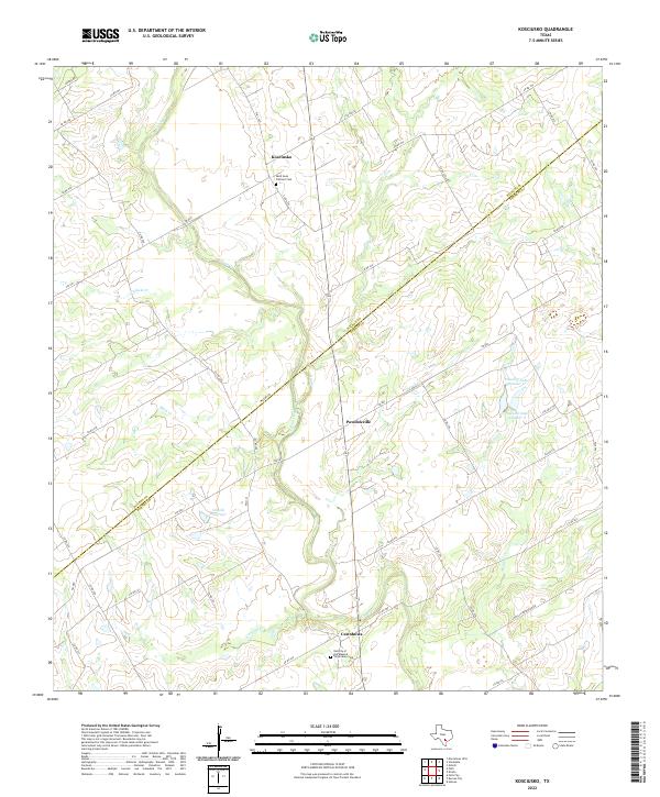
1960 Kosciusko
Karnes County, TX
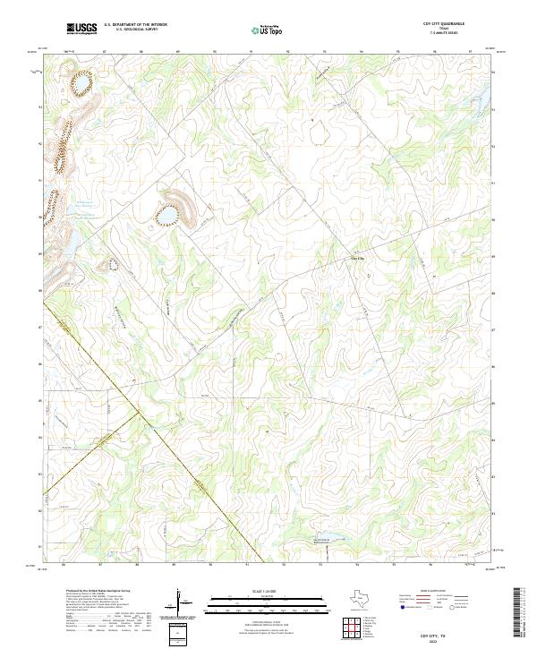
1961 Coy City
Karnes County, TX
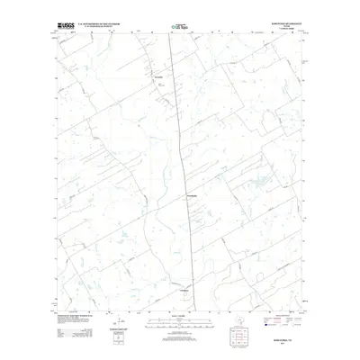
1961 Ecleto
Karnes County, TX
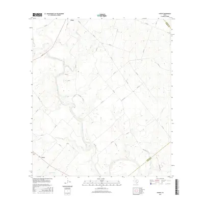
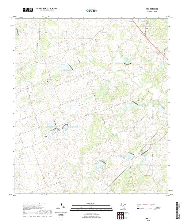
1961 Lenz
Karnes County, TX
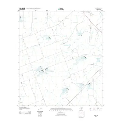
1963 Choate
Karnes County, TX
2010 Choate
Karnes County, TX
2010 Coy City
Karnes County, TX
2010 Ecleto
Karnes County, TX
2010 Helena
Karnes County, TX
2010 Kosciusko
Karnes County, TX
2010 Lenz
Karnes County, TX
2013 Choate
Karnes County, TX
2013 Coy City
Karnes County, TX
2013 Ecleto
Karnes County, TX
2013 Helena
Karnes County, TX
2013 Kosciusko
Karnes County, TX
2013 Lenz
Karnes County, TX
2016 Choate
Karnes County, TX
2016 Coy City
Karnes County, TX
2016 Ecleto
Karnes County, TX
2016 Helena
Karnes County, TX
2016 Kosciusko
Karnes County, TX
2016 Lenz
Karnes County, TX
2019 Choate
Karnes County, TX
2019 Coy City
Karnes County, TX
2019 Ecleto
Karnes County, TX
2019 Helena
Karnes County, TX
2019 Kosciusko
Karnes County, TX
2019 Lenz
Karnes County, TX
2022 Choate
Karnes County, TX
2022 Coy City
Karnes County, TX

2022 Ecleto
Karnes County, TX
2022 Helena
Karnes County, TX
2022 Kosciusko
Karnes County, TX
2022 Lenz
Karnes County, TX