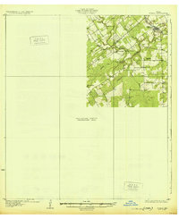
1931 Map of Tordia
USGS Topo · Published 1931About this map
The San Antonio River winds through the heart of this 1925 survey area, where the boundary between Wilson and Karnes Counties meets the water. Along the northern reach, Falls City serves as a primary hub where the Southern Pacific railroad crosses Marcelinas Creek near its confluence with the river. This specific edition is unique for its extensive unsurveyed area in the southwest, reflecting the progressive nature of topographic mapping in the mid-1920s.
Find a feature on this map
18 named features on this map. Tap any name to fly to it.
Don’t see what you’re looking for? This feature index may not catch every label — zoom into the map to look around manually.
Map Details
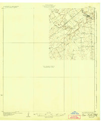
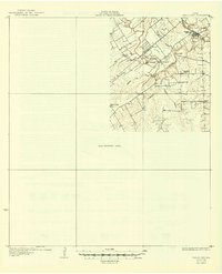
Editions of this 1931 Tordia Map
4 editions found
Other maps of this area

1920 · Smiley
USGS Topo · 1:125,000

1925 · Tordia No. 1
USGS Topo · 1:48,000

1930 · Whitsett
USGS Topo · 1:62,500

1931 · Falls City
USGS Topo · 1:62,500

1936 · Pettus
USGS Topo · 1:62,500

1936 · Floresville
USGS Topo · 1:62,500

1942 · Whitsett
USGS Topo · 1:62,500

1953 · Crystal City
USGS Topo · 1:250,000

1953 · Beeville
USGS Topo · 1:250,000

1953 · Seguin
USGS Topo · 1:250,000