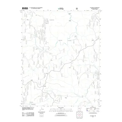
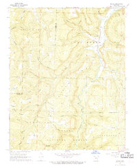
2011 Map of Fallsville
USGS Topo · Published 2011About this map
Fallsville occupies a high point in the Ozark highlands where the headwaters of several significant drainage systems diverge. This 2011 survey shows a landscape defined by deep drainages and named ridges, including Turner Ward Knob and Harvey Point. The settlement of Loafer and the Buffalo Lookout Tower suggest a history of forest management and small upland communities. For genealogists, the map is particularly useful for its documentation of family and community burial grounds, including Kapark Cemetery, Cassville Cemetery, Case Cemetery, Curtis Cemetery, and Sullivan Cemetery.
Find a feature on this map
37 named features on this map. Tap any name to fly to it.
Don’t see what you’re looking for? This feature index may not catch every label — zoom into the map to look around manually.
Map Details
Editions of this 2011 Fallsville Map
This is the sole edition of this map. No revisions or reprints were ever made.
Other maps of this area

1889 · Ozone
USGS Topo · 1:62,500

1906 · Batson
USGS Topo · 1:62,500

1934 · Ozone
USGS Topo · 1:62,500

1936 · Ozone
USGS Topo · 1:62,500

1956 · Russellville
USGS Topo · 1:250,000

1964 · Russellville
USGS Topo · 1:250,000
1967 · Fallsville
USGS Topo · 1:24,000
1968 · Swain
USGS Topo · 1:24,000
1968 · Murray
USGS Topo · 1:24,000
1968 · Boxley
USGS Topo · 1:24,000