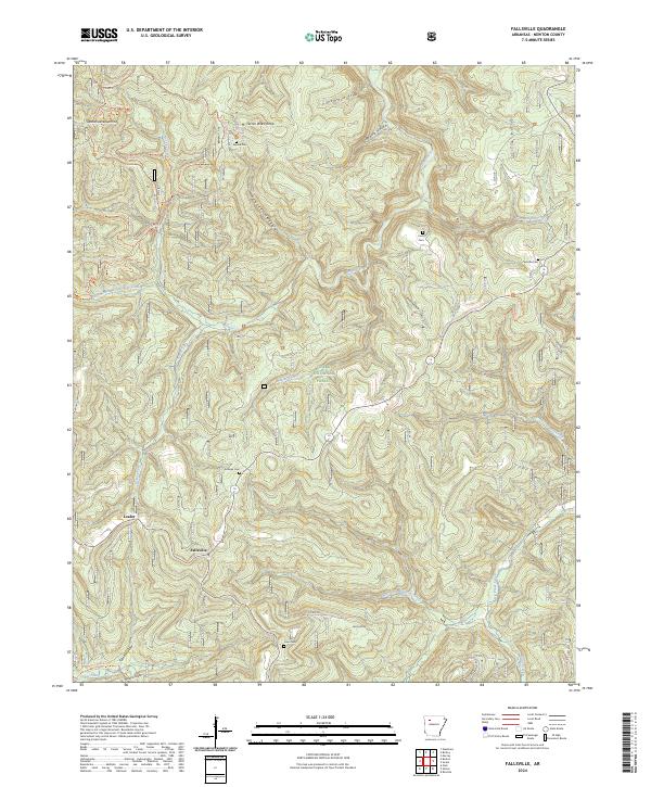
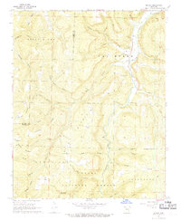
2024 Map of Fallsville
USGS Topo · Published 2024About this map
Fallsville and the small settlement of Loafer serve as the primary human centers in this high-elevation corner of the Ozark National Forest. The landscape is defined by the headwaters of two significant waterways, the Buffalo River and Big Piney Creek, which have carved deep drainages like Waterfall Hollow and Pruitt Hollow. This 2024 survey captures a wilderness-focused region where preservation and local heritage coexist, evidenced by the scattered family burial grounds including Sullivan Cem, Curtis Cem, and Kapark Cem. Higher elevations are marked by distinctive points such as Wahzhazhe Summit and Turner Ward Knob. A network of backcountry routes, including the Ozark Highlands Trl and Azalea Falls Trl, underscores the area's transition from early pioneer homesteading to its modern status as a protected natural corridor within the Upper Buffalo Wilderness.
Find a feature on this map
47 named features on this map. Tap any name to fly to it.
Don’t see what you’re looking for? This feature index may not catch every label — zoom into the map to look around manually.
Map Details
Editions of this 2024 Fallsville Map
This is the sole edition of this map. No revisions or reprints were ever made.
Other maps of this area

1889 · Ozone
USGS Topo · 1:62,500

1906 · Batson
USGS Topo · 1:62,500

1934 · Ozone
USGS Topo · 1:62,500

1936 · Ozone
USGS Topo · 1:62,500

1956 · Russellville
USGS Topo · 1:250,000

1964 · Russellville
USGS Topo · 1:250,000
1967 · Fallsville
USGS Topo · 1:24,000
1968 · Swain
USGS Topo · 1:24,000
1968 · Murray
USGS Topo · 1:24,000
1968 · Boxley
USGS Topo · 1:24,000