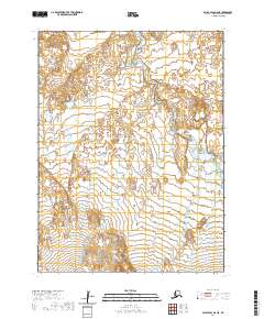
2020 Map of False Pass D-6 NE
USGS Topo · Published 2020About this map
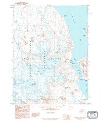
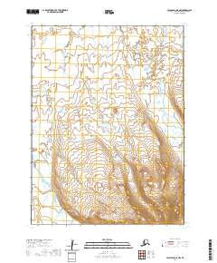
Unimak Island serves as the focal point for this survey within the larger Aleutian Islands chain. The landscape is dominated by the course of Coal Oil Cr, which meanders through the central and southern sections of the quadrangle. This coastal terrain is largely defined by its drainage patterns and the underlying Public Land Survey System grid, including boundaries such as t60s r96w and t61s r96w. The mapping records the intricate shoreline and interior hydrography of this sub-arctic environment, showing the relationship between small water bodies and the principal stream of Coal Oil Cr as it flows toward the coast. While devoid of named settlements, the map provides a precise record of the island's natural topography and township divisions during the early twenty-first century.
Find a feature on this map
7 named features on this map. Tap any name to fly to it.
Don’t see what you’re looking for? This feature index may not catch every label — zoom into the map to look around manually.
Map Details
Editions of this 2020 False Pass D-6 NE Map
This is the sole edition of this map. No revisions or reprints were ever made.
Other maps of this area

1943 · Fort Randall
USGS Topo · 1:250,000

1949 · False Pass
USGS Topo · 1:250,000

1949 · Fort Randall
USGS Topo · 1:250,000

1950 · False Pass
USGS Topo · 1:250,000

1950 · Fort Randall
USGS Topo · 1:250,000
1989 · Cold Bay A-6
USGS Topo · 1:63,360
1989 · False Pass D-6
USGS Topo · 1:63,360
1995 · Cold Bay A-5
USGS Topo · 1:63,360
1995 · False Pass D-5
USGS Topo · 1:63,360
2020 · False Pass D-5 NW
USGS Topo · 1:25,000