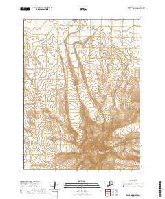
2020 Map of False Pass D-6 SE
USGS Topo · Published 2020About this map
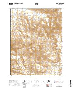
Isanotski Peaks dominate the southern portion of this landscape on Unimak Island, where steep volcanic contours rise sharply from the northern coastal lowlands. This portion of the Aleutian Islands chain is defined by its dramatic relief and glacial activity, visible in the intricate drainage patterns feeding into the Bering Sea. In the northern reaches of the quadrangle, Coal Creek winds through the flats, marking one of the primary named watercourses in an otherwise sparse and high-altitude terrain. The map captures a largely unpopulated wilderness within the Aleutians East Borough, where the land is primarily organized by township and range boundaries such as t61s r96w and t62s r97w.
Find a feature on this map
10 named features on this map. Tap any name to fly to it.
Don’t see what you’re looking for? This feature index may not catch every label — zoom into the map to look around manually.
Map Details
Editions of this 2020 False Pass D-6 SE Map
This is the sole edition of this map. No revisions or reprints were ever made.
Other maps of this area

1949 · False Pass
USGS Topo · 1:250,000

1950 · False Pass
USGS Topo · 1:250,000
1989 · False Pass C-6
USGS Topo · 1:63,360
1989 · False Pass C-5
USGS Topo · 1:63,360
1989 · False Pass D-6
USGS Topo · 1:63,360
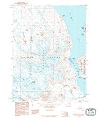
1995 · False Pass D-5
USGS Topo · 1:63,360
2020 · False Pass D-5 NW
USGS Topo · 1:25,000
2020 · False Pass C-6 NW
USGS Topo · 1:25,000
2020 · False Pass D-6 NW
USGS Topo · 1:25,000
2020 · False Pass D-5 SW
USGS Topo · 1:25,000