
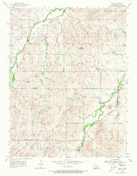
1955 Map of Falun
USGS Topo · Published 1956About this map
The Smoky Hill Air Force Base Bombing Range dominates the central landscape of this Saline County quadrangle, a stark military imposition over the traditional farm and ranch lands of central Kansas. This mid-century survey reveals a transition from agricultural life to Cold War defense requirements, as the bombing range boundary bisects established townships like Spring Creek and Washington. To the east, the settlement of Falun remains anchored by the Missouri Pacific railroad, serving as a local hub for transport and community life.
Find a feature on this map
20 named features on this map. Tap any name to fly to it.
Don’t see what you’re looking for? This feature index may not catch every label — zoom into the map to look around manually.
Map Details
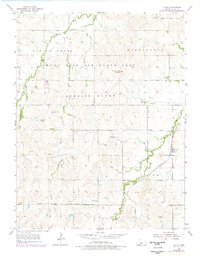
Editions of this 1955 Falun Map
3 editions found
Other maps of this area

1892 · Salina
USGS Topo · 1:125,000

1942 · Salina
USGS Topo · 1:125,000

1955 · Salina SW
USGS Topo · 1:24,000

1955 · Smolan
USGS Topo · 1:24,000

1955 · Brookville
USGS Topo · 1:24,000

1955 · Hutchinson
USGS Topo · 1:250,000

1957 · Brookville SW
USGS Topo · 1:24,000
1957 · Venango
USGS Topo · 1:24,000

1959 · Hutchinson
USGS Topo · 1:250,000

1964 · Marquette
USGS Topo · 1:24,000