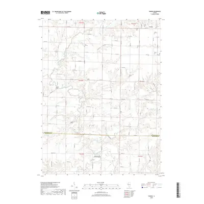
2018 Map of Fandon
USGS Topo · Published 2018About this map
The La Moine River winds through the rural landscape of western Illinois, defining the transition from the fertile uplands down into the wooded bottomlands near the border of McDonough and Schuyler counties. This 2018 survey reveals a deeply established agricultural region centered around the small settlements of Birmingham and Fandon. The river's path is marked by historically significant crossings like Lamoine Bridge and Cow Ford Bridge, while its tributaries, including Troublesome Cr and Camp Creek, further carve the terrain. Genealogists will find an exceptional concentration of family and community burial sites, including the White Flock Cem, Archer-Bethel Cem, and the secluded Miller Grave. The network of country roads, such as Co Hwy 26 and Co Line Rd, links these quiet rural corners where small airfields like Clark Airport maintain a connection to the wider world.
Find a feature on this map
51 named features on this map. Tap any name to fly to it.
Don’t see what you’re looking for? This feature index may not catch every label — zoom into the map to look around manually.
Map Details
Editions of this 2018 Fandon Map
This is the sole edition of this map. No revisions or reprints were ever made.
Other maps of this area

1912 · Macomb
USGS Topo · 1:62,500

1913 · Colchester
USGS Topo · 1:62,500

1914 · Macomb
USGS Topo · 1:62,500

1923 · Rushville
USGS Topo · 1:62,500

1926 · Rushville
USGS Topo · 1:62,500

1946 · Augusta
USGS Topo · 1:62,500

1949 · Augusta
USGS Topo · 1:62,500

1958 · Burlington
USGS Topo · 1:250,000

1961 · Burlington
USGS Topo · 1:250,000

1963 · Burlington
USGS Topo · 1:250,000