Loading...
Loading map...2024 Map of Fanning Springs
USGS Topo · Published 2024About this map
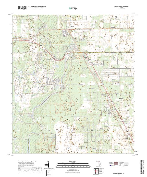
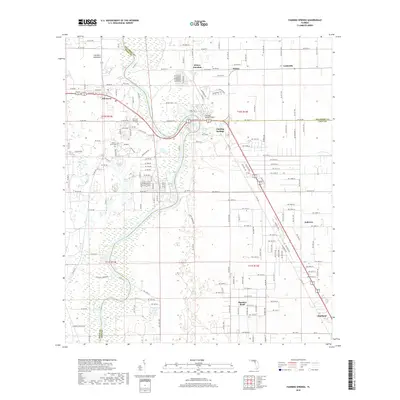
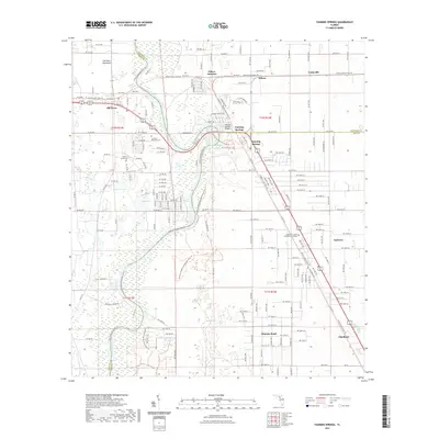
The Suwannee River flows through the heart of this landscape, serving as a natural boundary between Dixie, Gilchrist, and Levy counties. Along its banks, the community of Fanning Springs is a central focal point, adjacent to the conserved lands of Fanning Springs State Park and the Andrews Wildlife Management Area. The map reveals a transition from these protected riverine corridors to the developed corridors of Chiefland and Old Town.
Find a feature on this map
112 named features on this map. Tap any name to fly to it.
Don’t see what you’re looking for? This feature index may not catch every label — zoom into the map to look around manually.
Map Details
Date Portrayed2024
Date Published2024
PublisherU.S. Geological Survey
Map TypeTopographic
Scale1:24,000
Physical Dimensions24 x 29 inches
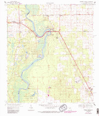
Editions of this 2024 Fanning Springs Map
This is the sole edition of this map. No revisions or reprints were ever made.
Historical Maps of Chiefland Through Time
6 maps found
Featured Locations
Source Details
SourceU.S. Geological Survey
CopyrightPublic Domain