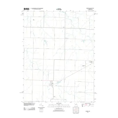
2012 Map of Farber
USGS Topo · Published 2012About this map
Farber and Vandalia anchor this portion of Audrain County, where the landscape is defined by the transition from rural townships to organized rail-era settlements. The area's agrarian character is evident in the dense grid of county roads, many bearing state names like Wisconsin Ln and Oklahoma Ln. Hydrological features including Spencer Creek, East Lick Creek, and Hickory Creek drain the surrounding fields, while man-made landmarks like Alton Lake and Eisele Lake indicate localized water management for the community.
Find a feature on this map
47 named features on this map. Tap any name to fly to it.
Don’t see what you’re looking for? This feature index may not catch every label — zoom into the map to look around manually.
Map Details
Editions of this 2012 Farber Map
This is the sole edition of this map. No revisions or reprints were ever made.
Other maps of this area

1890 · Louisiana
USGS Topo · 1:125,000

1890 · Mexico
USGS Topo · 1:125,000

1942 · Wellsville
USGS Topo · 1:62,500

1942 · Bellflower
USGS Topo · 1:62,500

1943 · Vandalia
USGS Topo · 1:62,500

1945 · Bellflower
USGS Topo · 1:62,500

1945 · Perry
USGS Topo · 1:62,500

1945 · Vandalia
USGS Topo · 1:62,500

1948 · Quincy
USGS Topo · 1:250,000

1956 · Quincy
USGS Topo · 1:250,000