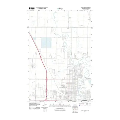
2011 Map of Fargo North
USGS Topo · Published 2011About this map
The Red River of the North winds along the border of North Dakota and Minnesota, anchoring the developing urban centers of Fargo and Moorhead. This 2011 survey illustrates the northward expansion of the metro area, documenting the growth of satellite communities like Oakport, North River, and the enclave of Reiles Acres. For those researching local heritage, the map identifies several key burial grounds, including Oak Mound Cemetery and Fridhem Cemetery in the north, as well as Riverside Cemetery and Saint Joseph Cemetery near the river bend. The landscape is a mix of educational and transit hubs, featuring the North Dakota State University - Biloxi campus and the sprawling grounds of Hector Field. Transportation patterns are clearly defined by the path of Great Northern Dr N and river-regulating structures like the Fargo 12th Avenue Dam.
Find a feature on this map
24 named features on this map. Tap any name to fly to it.
Don’t see what you’re looking for? This feature index may not catch every label — zoom into the map to look around manually.
Map Details
Editions of this 2011 Fargo North Map
This is the sole edition of this map. No revisions or reprints were ever made.
Other maps of this area

1895 · Fargo
USGS Topo · 1:125,000

1897 · Fargo
USGS Topo · 1:125,000

1952 · Grand Forks
USGS Topo · 1:250,000

1953 · Fargo
USGS Topo · 1:250,000

1956 · Fargo
USGS Topo · 1:250,000

1956 · Grand Forks
USGS Topo · 1:250,000

1959 · Fargo North
USGS Topo · 1:24,000

1959 · South West Fargo
USGS Topo · 1:24,000

1959 · Fargo South
USGS Topo · 1:24,000

1959 · West Fargo
USGS Topo · 1:24,000