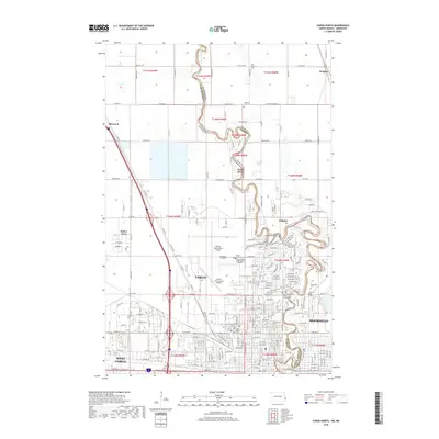
2018 Map of Fargo North
USGS Topo · Published 2018About this map
The Red River of the North forms a serpentine boundary between Fargo, North Dakota and Moorhead, Minnesota, defining the regional landscape in this 2018 survey. The urban expansion of North Dakota's largest city is evident, encompassing West Fargo and reaching toward smaller developments like Reile's Acres and North River. A significant portion of the city's northern infrastructure is anchored by the Hector International Airport and the campus of North Dakota State Univ.
Find a feature on this map
87 named features on this map. Tap any name to fly to it.
Don’t see what you’re looking for? This feature index may not catch every label — zoom into the map to look around manually.
Map Details
Editions of this 2018 Fargo North Map
This is the sole edition of this map. No revisions or reprints were ever made.
Other maps of this area

1895 · Fargo
USGS Topo · 1:125,000

1897 · Fargo
USGS Topo · 1:125,000

1952 · Grand Forks
USGS Topo · 1:250,000

1953 · Fargo
USGS Topo · 1:250,000

1956 · Fargo
USGS Topo · 1:250,000

1956 · Grand Forks
USGS Topo · 1:250,000

1959 · Fargo North
USGS Topo · 1:24,000

1959 · South West Fargo
USGS Topo · 1:24,000

1959 · Fargo South
USGS Topo · 1:24,000

1959 · West Fargo
USGS Topo · 1:24,000