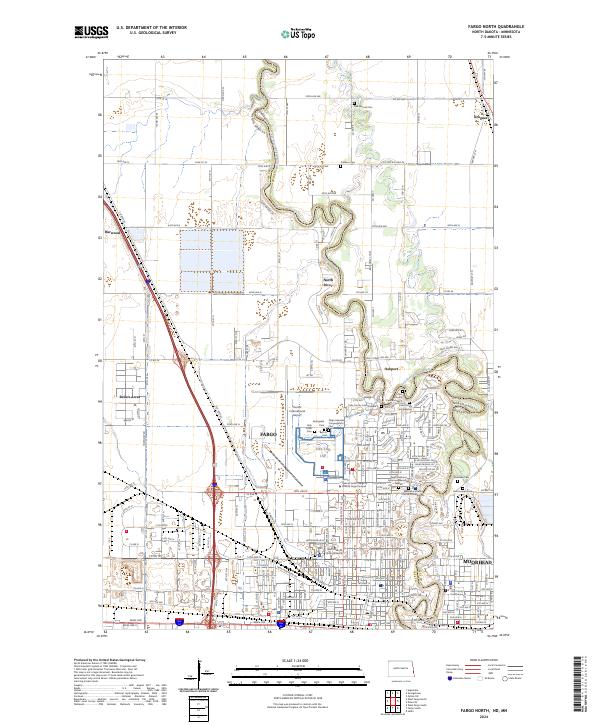
2024 Map of Fargo North
USGS Topo · Published 2024About this map
Fargo and Moorhead anchor this detailed study of the Red River Valley, where the Red River of the North winds along the state border. The landscape is defined by the academic and transportation hubs that drive the region's economy, specifically the campus of North Dakota State University and the extensive grounds of Hector International Airport. Beyond the urban core, the map captures a cluster of residential developments such as North River, Oakport, and Reile's Acres, illustrating the modern northward expansion of the metropolitan area. The density of historical and religious sites is significant, including the Fargo Hebrew Congregation Cem and several Cass County municipal cemeteries. The presence of the Great Northern Dr and the Clay County Courthouse further highlights the area's role as a regional seat of commerce and governance.
Find a feature on this map
90 named features on this map. Tap any name to fly to it.
Don’t see what you’re looking for? This feature index may not catch every label — zoom into the map to look around manually.
Map Details
Editions of this 2024 Fargo North Map
This is the sole edition of this map. No revisions or reprints were ever made.
Other maps of this area

1895 · Fargo
USGS Topo · 1:125,000

1897 · Fargo
USGS Topo · 1:125,000

1952 · Grand Forks
USGS Topo · 1:250,000

1953 · Fargo
USGS Topo · 1:250,000

1956 · Fargo
USGS Topo · 1:250,000

1956 · Grand Forks
USGS Topo · 1:250,000

1959 · Fargo North
USGS Topo · 1:24,000

1959 · South West Fargo
USGS Topo · 1:24,000

1959 · Fargo South
USGS Topo · 1:24,000

1959 · West Fargo
USGS Topo · 1:24,000