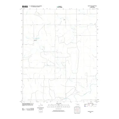
2010 Map of Fargo NW
USGS Topo · Published 2010About this map
Sunset Cemetery sits in the northern reaches of this Ellis County landscape, overlooking a terrain defined by a network of intermittent watercourses and section roads. The drainage pattern is led by the winding path of Sixteenmile Creek, which traverses the center of the quadrangle before joining Wolf Creek in the south. Near the headwaters of these drainages, the Oknoname 045001 Dam impounds the Oknoname 045001 Reservoir, a man-made feature that breaks the expansive agricultural grid. The map's strictly rectilinear road system, including e0370 RD and n1870 RD, reflects the late 20th-century rural infrastructure of northwestern Oklahoma, where access for farming and land management remains the primary structural element of the countryside.
Find a feature on this map
23 named features on this map. Tap any name to fly to it.
Don’t see what you’re looking for? This feature index may not catch every label — zoom into the map to look around manually.
Map Details
Editions of this 2010 Fargo NW Map
This is the sole edition of this map. No revisions or reprints were ever made.
Other maps of this area

1955 · Woodward
USGS Topo · 1:250,000

1958 · Woodward
USGS Topo · 1:250,000

1969 · Fargo SW
USGS Topo · 1:24,000

1969 · Fargo
USGS Topo · 1:24,000

1969 · Fargo NW
USGS Topo · 1:24,000

1969 · Gage
USGS Topo · 1:24,000

1969 · Fargo SE
USGS Topo · 1:24,000

1969 · Shattuck NE
USGS Topo · 1:24,000

1971 · May East
USGS Topo · 1:24,000

1971 · Fort Supply
USGS Topo · 1:24,000