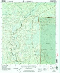
2006 Map of Fargo SW
USGS Topo · Published 2007About this map
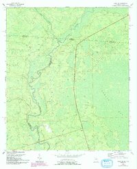
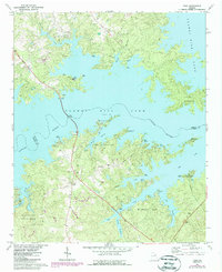
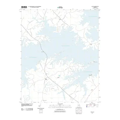
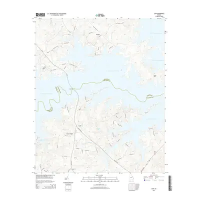
The Suwannee River carves a winding path across the state line between Georgia and Florida, defining the border between Hamilton, Echols, and Columbia counties. This landscape is characterized by dense wetlands and forest management areas, including the vast Osceola National Forest and the Pinhook Purchase Unit. Evidence of local community life is concentrated near the settlement of Watson, where the Watson Line road bisects the terrain. Genealogists and local historians can locate the Hopewell Ch and an adjacent Cem, providing a precise geographic anchor for family research in this rural borderland. The presence of a Lookout Tower and numerous named water features like Rocky Creek, Brown Lake, and Bear Bay illustrates the region's historical reliance on timber and its naturally saturated geography.
Find a feature on this map
18 named features on this map. Tap any name to fly to it.
Don’t see what you’re looking for? This feature index may not catch every label — zoom into the map to look around manually.
Map Details
Editions of this 2006 Fargo SW Map
This is the sole edition of this map. No revisions or reprints were ever made.
Historical Maps of Watson Through Time
8 maps found