
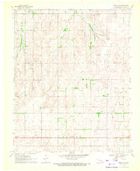
1969 Map of Fargo SW
USGS Topo · Published 1970About this map
Fargo and Gage anchor the landscape of Ellis County during the late 1960s, a period marked by the steady expansion of the regional energy sector. The Atchison Topeka and Santa Fe railroad cuts diagonally across the northern terrain, following the valley created by Wolf Creek. This corridor is a hub of activity, featuring the distinctive Artesian Beach Park and local utility markers like the Radio Tower.
Find a feature on this map
22 named features on this map. Tap any name to fly to it.
Don’t see what you’re looking for? This feature index may not catch every label — zoom into the map to look around manually.
Map Details
Editions of this 1969 Fargo SW Map
This is the sole edition of this map. No revisions or reprints were ever made.
Other maps of this area

1955 · Woodward
USGS Topo · 1:250,000

1958 · Woodward
USGS Topo · 1:250,000

1969 · Fargo
USGS Topo · 1:24,000

1969 · Fargo NW
USGS Topo · 1:24,000

1969 · Gage
USGS Topo · 1:24,000

1969 · Fargo SE
USGS Topo · 1:24,000

1969 · Shattuck NE
USGS Topo · 1:24,000

1970 · Arnett
USGS Topo · 1:24,000

1970 · Harmon
USGS Topo · 1:24,000
1970 · Harmon NW
USGS Topo · 1:24,000