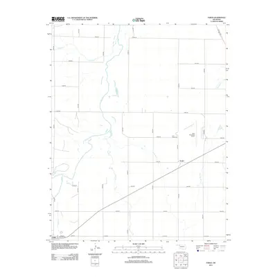
2012 Map of Fargo
USGS Topo · Published 2012About this map
Fargo stands at the southwestern edge of this Ellis County landscape, where the local road grid meets the diagonal path of the railway. The terrain is defined by a series of drainage systems, most notably Eightmile Cr and its tributaries, which carve through the plains. To the northeast, the West Woodward Airport serves as a modern aviation hub, situated near the Rest Haven Cem. Within the community of Fargo, Braunch Memorial Park provides a dedicated local space near the town center. The map reflects a structured rural layout, with numbered section roads like e0400 RD and n1930 RD facilitating movement across the agricultural and ranching parcels of the Oklahoma panhandle region.
Find a feature on this map
24 named features on this map. Tap any name to fly to it.
Don’t see what you’re looking for? This feature index may not catch every label — zoom into the map to look around manually.
Map Details
Editions of this 2012 Fargo Map
This is the sole edition of this map. No revisions or reprints were ever made.
Other maps of this area

1955 · Woodward
USGS Topo · 1:250,000

1958 · Woodward
USGS Topo · 1:250,000

1969 · Fargo SW
USGS Topo · 1:24,000

1969 · Fargo
USGS Topo · 1:24,000

1969 · Fargo NW
USGS Topo · 1:24,000

1969 · Woodward SW
USGS Topo · 1:24,000

1969 · Woodward
USGS Topo · 1:24,000

1969 · Fargo SE
USGS Topo · 1:24,000

1970 · Sleeping Bear Creek SW
USGS Topo · 1:24,000

1971 · May East
USGS Topo · 1:24,000