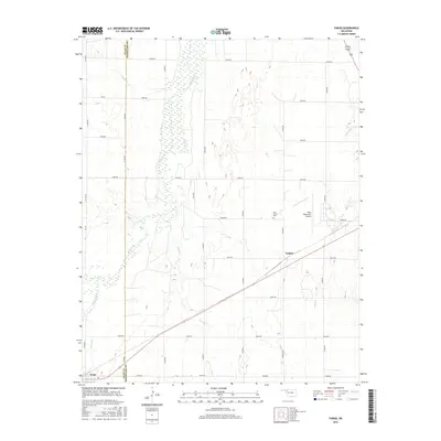
2016 Map of Fargo
USGS Topo · Published 2016About this map
Fargo serves as the primary settlement on this High Plains landscape, situated along the southwestern edge of the quadrangle. The terrain is defined by the broad, braided course of Wolf Creek, which meanders northward through a series of wetlands and riparian zones. To the east, the small community of Tangier sits along a diagonal rail line that cuts through the heart of the region, emphasizing the importance of transportation in this rural Oklahoma corridor.
Find a feature on this map
31 named features on this map. Tap any name to fly to it.
Don’t see what you’re looking for? This feature index may not catch every label — zoom into the map to look around manually.
Map Details
Editions of this 2016 Fargo Map
This is the sole edition of this map. No revisions or reprints were ever made.
Other maps of this area

1955 · Woodward
USGS Topo · 1:250,000

1958 · Woodward
USGS Topo · 1:250,000

1969 · Fargo SW
USGS Topo · 1:24,000

1969 · Fargo
USGS Topo · 1:24,000

1969 · Fargo NW
USGS Topo · 1:24,000

1969 · Woodward SW
USGS Topo · 1:24,000

1969 · Woodward
USGS Topo · 1:24,000

1969 · Fargo SE
USGS Topo · 1:24,000

1970 · Sleeping Bear Creek SW
USGS Topo · 1:24,000

1971 · May East
USGS Topo · 1:24,000