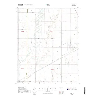
2018 Map of Fargo
USGS Topo · Published 2018About this map
Wolf Creek dominates the central landscape of this western Oklahoma region, cutting a broad path through the terrain as it flows northward. The town of Fargo sits in the southwestern corner of the sheet, characterized by its grid of local roads and the presence of Braunch Memorial Park. To the northeast, the smaller settlement of Tangier is situated along the primary rail and road corridor that bisects the southern half of the quadrangle, linking these communities to the wider region.
Find a feature on this map
35 named features on this map. Tap any name to fly to it.
Don’t see what you’re looking for? This feature index may not catch every label — zoom into the map to look around manually.
Map Details
Editions of this 2018 Fargo Map
This is the sole edition of this map. No revisions or reprints were ever made.
Other maps of this area

1955 · Woodward
USGS Topo · 1:250,000

1958 · Woodward
USGS Topo · 1:250,000

1969 · Fargo SW
USGS Topo · 1:24,000

1969 · Fargo
USGS Topo · 1:24,000

1969 · Fargo NW
USGS Topo · 1:24,000

1969 · Woodward SW
USGS Topo · 1:24,000

1969 · Woodward
USGS Topo · 1:24,000

1969 · Fargo SE
USGS Topo · 1:24,000

1970 · Sleeping Bear Creek SW
USGS Topo · 1:24,000

1971 · May East
USGS Topo · 1:24,000