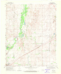
2022 Map of Fargo
USGS Topo · Published 2022About this map
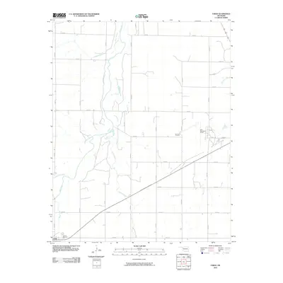
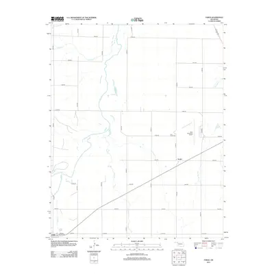
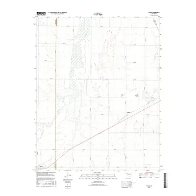
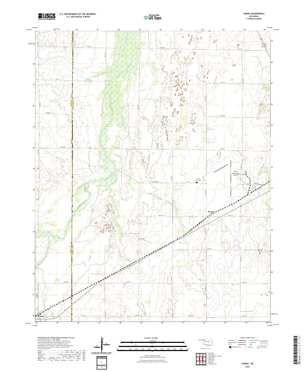
Fargo serves as a focal point in the southwestern corner of this landscape, situated at the boundary where Ellis and Woodward counties meet. The terrain is defined by the broad, meandering corridor of Wolf Creek, which is flanked by numerous tributaries including Eightmile Creek, Turkey Creek, and Roundup Creek. This water network historically shaped the settlement patterns and road grids of the High Plains, with a systematic network of section roads like E0360 Road and NS 190 Road providing access to rural homesteads and agricultural tracts.
Find a feature on this map
37 named features on this map. Tap any name to fly to it.
Don’t see what you’re looking for? This feature index may not catch every label — zoom into the map to look around manually.
Map Details
Editions of this 2022 Fargo Map
This is the sole edition of this map. No revisions or reprints were ever made.
Historical Maps of Fargo Through Time
6 maps found