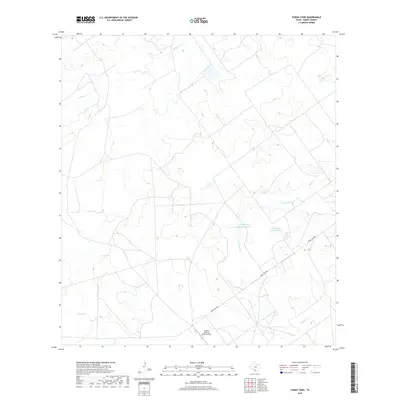
2019 Map of Farias Tank
USGS Topo · Published 2019About this map
The Briscoes Catarina Ranch Airport and the expansive water systems of the Briscoe ranchlands define this Dimmit County landscape in South Texas. The drainage patterns of the Brush Country are clearly delineated, with several major creeks such as San Roque Cr, El Moro Cr, and Catarina Cr carving through the terrain. These watercourses are vital to the region's ranching heritage, feeding into significant impoundments like Dolph Briscoe Lake Number 1 and Dolph Briscoe Lake Number 2.
Find a feature on this map
9 named features on this map. Tap any name to fly to it.
Don’t see what you’re looking for? This feature index may not catch every label — zoom into the map to look around manually.
Map Details
Editions of this 2019 Farias Tank Map
This is the sole edition of this map. No revisions or reprints were ever made.
Other maps of this area

1929 · Cotulla
USGS Topo · 1:125,000

1932 · Valley Wells
USGS Topo · 1:62,500

1940 · Asherton
USGS Topo · 1:62,500

1940 · Velenzuela Creek
USGS Topo · 1:62,500

1940 · San Loranzo Creek
USGS Topo · 1:62,500

1940 · Catarina
USGS Topo · 1:62,500

1953 · Crystal City
USGS Topo · 1:250,000

1955 · Crystal City
USGS Topo · 1:250,000

1961 · Crystal City
USGS Topo · 1:250,000

1968 · Crystal City
USGS Topo · 1:250,000